In pictures: Hurricane Sally triggers flooding along Gulf Coast
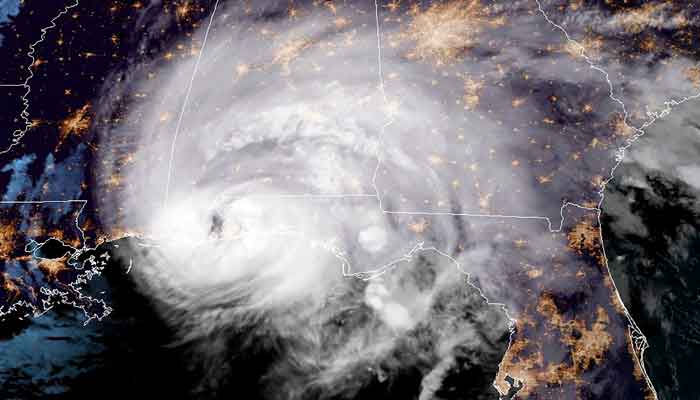
Hurricane Sally, the slow-moving storm made landfall as a Category 2 hurricane overnight
Published September 16, 2020
Threatening "historic and catastrophic" flooding in parts of Alabama and Florida, Hurricane Sally triggered torrential rains on the US Gulf Coast Wednesday.
The slow-moving storm made landfall as a Category 2 hurricane overnight and has since lingered over coastal Alabama and the Florida panhandle.
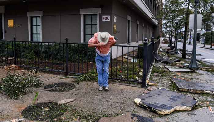

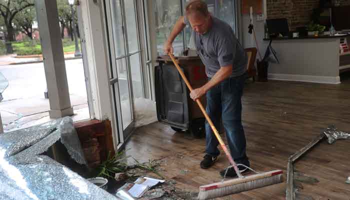
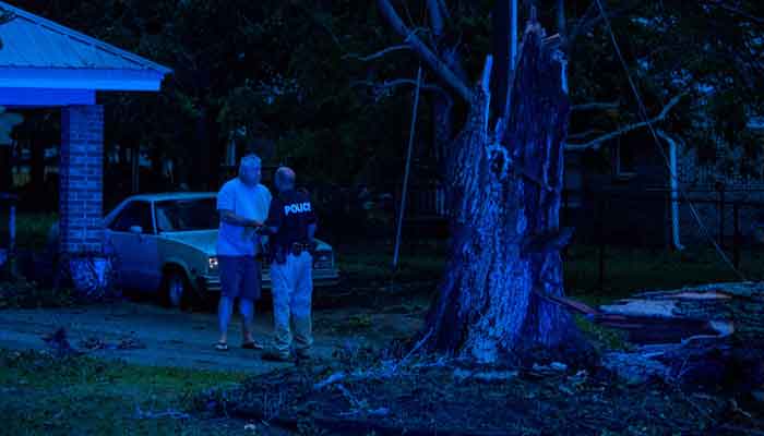
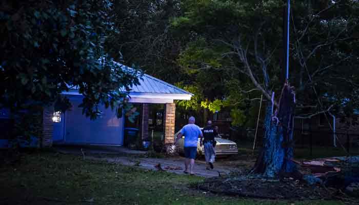
Residents of some areas were grappling with power outages, downed trees and flooded streets and homes as Sally drenched swathes of the coast with copious amounts of rain.
The Miami-based National Hurricane Center (NHC) said some isolated pockets could receive as much as 35 inches (89 centimeters) of rain.
"Historic and catastrophic flooding is unfolding along and just inland of the coast from west of Tallahassee, Florida, to Mobile Bay, Alabama," it said.
At 10:00 am (1400 GMT), Sally had maximum sustained winds of 80 miles per hour, the NHC said, and storm surge warnings were in effect for parts of the coast along with tornado warnings.
Sally was moving towards the north-northeast at five miles (eight kilometers) per hour, the NHC said. It was expected to weaken as it moved further inland and become a tropical depression by Thursday morning.
More than 500,000 homes and businesses in Alabama, Florida and Mississippi have lost power, according to the tracking site poweroutage.us.
Some of the worst reported flooding was in the city of Pensacola, Florida, which has a population of around 52,000.
Residents posted pictures of downtown streets resembling lakes with cars submerged to the tops of their wheels and wind gusts whipping up whitecaps on the water.
"Flooded roadways and intersections, along with hazardous debris in roadways (locations) have become too numerous to list," the Pensacola police tweeted. "Please stay off roadways now."
A section of a new bridge, the Three Mile Bridge, over Pensacola Bay was missing, causing it to be shut down.
'Record flooding'
According to the NHC, Sally made landfall in Gulf Shores, Alabama, with maximum sustained winds of about 105 mph.
"We are looking at record flooding, perhaps breaking historic levels," Alabama governor Kay Ivey said. "And with rising water comes a greater risk for loss of property and life.
"I urge you in the strongest way possible to evacuate if conditions permit and seek shelter elsewhere as possible today."
Ivey had declared a state of emergency Monday ahead of Sally´s arrival.
President Donald Trump, speaking on "Fox & Friends," compared Sally to Hurricane Laura, which battered Texas and Louisiana, as well as the Caribbean, just a few weeks ago.
"This one is smaller but it´s a little bit more direct, but we have it under control," he said.
He urged people in the storm´s path to "listen to State and Local Leaders."
Mississippi Governor Tate Reeves had also declared an emergency ahead of the approaching storm but it eventually made landfall further to the east of his state.
At a hurricane refuge in Pascagoula, a coastal town in eastern Mississippi, 50-year-old evacuee Clinton Shepherd spent the night hoping the area could avoid the worst.
"Hoping and praying for the best, that´s all we can do," he said.
There have been so many tropical storms in the Atlantic this year that the UN´s World Meteorological Organization, which names the tempests, is about to run out of names for only the second time in history.
The last time was in 2005, the year Hurricane Katrina devastated New Orleans.


