Late July delivers wild weather trifecta in North America: Snow, tornadoes, Hurricane
The NWS issued a warning of 5 to 15 centimeters of snow along Alaska's Central Brooks Range, including the Dalton Highway
Published July 29, 2026
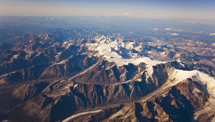
A late July week in North America is set to deliver wild weather conditions, after a warning was issued by the National Weather Center.
The winter weather advisory in July covered Alaska’s Arctic interior, a tornado damaged communities in northeastern Wisconsin, and Hurricane Genevive developed into a Category 5 storm over the eastern Pacific.
These weather systems evolved separately, impacting areas with diverse climate zones and threat risks.
According to the National Weather Service in Fairbanks, it shared the alert on X (formerly Twitter) on July 26, 2026.
The NWS has issued a warning of 5 to 15 centimeters (2 to 6 inches) of snow along Alaska's Central Brooks Range, including the Dalton Highway.
In Wisconsin, a tornado hit the Fox Valley area, damaging homes and businesses and cutting electricity to more than 30,000 customers.
Far offshore, Hurricane Genevieve scaled maximum sustained winds of about 260 km/h (160 mph), emerging as the first Category 5 hurricane of 2026’s eastern Pacific season.
Weather forecasters have predicted the heaviest snowfall in highlands, where temperatures can bring enough snow to make it feel like winter in July.
The midsummer snow headlines naturally grab readers' attention, but meteorologists stressed that such cold spells are a permanent feature of high-altitude climates.
For context, Brooks Range peaks reach above the Arctic Circle, and its altitude allows snow and chilling temperatures to happen when winter is not even in session.