Arctic freeze set to grip UK next week with 10 inches of snow, -6°C temperatures
Forecasters caution of snow, ice, flooding risks in UK next week
January 15, 2026
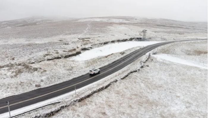
The UK is bracing for another sharp Arctic blast next week.
The forecasters have issued a warning that parts of the country could see up to 10 inches of snow as temperatures drop to -6°C.
The cold wave is forecast to follow a brief spell of milder weather following widespread disruption caused by storm Goretti at the start of this month.
Going by the weather maps, the low-pressure system that moved from the north and west would interact with "bitterly cold Arctic air" that is moving "southwards."
It is a combination that is sure to result in unsettled weather, with snow falling where moist air makes contact with freezing air.
The heaviest snowfall of the season is forecasted for January, especially across central and northern Scotland and northern England. While up to 30cm of snow is possible in some areas of Scotland.
Northern England may see around 14 to 15cm of snow, while temperatures across Scotland are expected to dip to -6°C.
The Met Office has issued a warning of “potential hazards” in its outlook for January 17-26, forecasting the likelihood of further low-pressure systems moving in from the Atlantic.
After the harsh winter season that the UK has experienced, spells of heavy rainfall are also projected to come along. The threat comes at a time when the UK is still recovering from Storm Goretti's impact, causing disruption in travel and power supplies, as well as weather warnings being issued.


