Gulf coast hurricane watch: Invest 92L could become tropical storm this week
Gulf disturbance could become tropical storm as forecasters monitor development
Published October 05, 2026
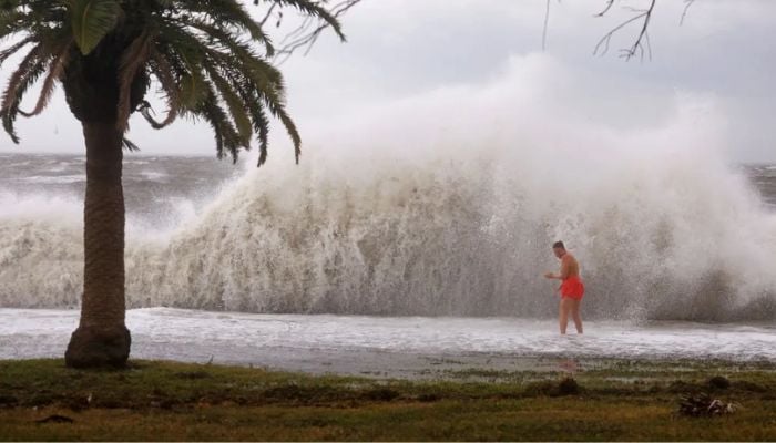
Forecasters are watching a developing weather system in the Gulf of Mexico that could strengthen into a tropical storm later this week.
This can potentially bring heavy rain and flooding to parts of the U.S. Gulf Coast.
The National Hurricane Centre has designated the disturbance as Invest 92L, located in the southern Gulf near the Bay of Campeche. The system has about a 50% chance of tropical development in the coming days, though the NHC gives it a 0 per cent chance of formation within the next 48 hours.
A storm could begin organising around Thursday or Friday at the tail end of a cold front draped across the Gulf. Irrespective of whether it becomes a named storm, forecasters warn the system will likely drench coastal areas.
The front’s remnants are expected to lift north toward the end of the workweek, bringing another round of heavy rain to parts of the Florida and Louisiana coasts by the weekend, with potential flash flooding.
The disturbance arrives during an unusually quiet Atlantic hurricane season. More than 300 days have passed since the last hurricane formed, and September ended without a single hurricane for the first time in 32 years, suppressed by a strong El Niño pattern. If the season ends without a hurricane, it would be only the third such occurrence on record.