Tornado watch issued for NYC, Tri State area: Here's when storm will hit
Severe thunderstorms bring threat of tornadoes, flash flooding, and damaging winds to New York and New Jersey
Published July 22, 2026
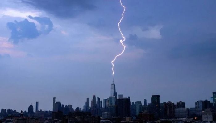
A tornado watch has been issued for New York City and much of the Tri-State area until 9:00 p.m. Tuesday, July 21, as severe thunderstorms move across the region.
This poses a potential threat of isolated tornadoes, damaging winds, and flash flooding.
The warning includes all five boroughs of NYC, as well as Rockland, Westchester, and Nassau Counties. The entire state of New Jersey falls within the warning zone, and in Connecticut, the Tornado Watch includes Fairfield and New Haven Counties.
Tornado Warnings were in effect for Sullivan County, New York until 2:30 p.m. and Morris County, New Jersey until 3:15 p.m.
According to the National Weather Service, there will be two waves of storms:
Morning wave: Strong storms developed north and west of NYC, bringing serious flooding to northern New Jersey, Westchester, and Fairfield counties.
Afternoon/ evening wave (5:00p.m. to 11:00 p.m.): A stronger round is expected with damaging winds, hail, flooding downpours, and isolated tornadoes.
Primary threats include damaging winds up to 60+ mph, 1-2 inches of rain and hail up to 1 inch in diameter of hail. Most of New Jersey is under a level 3 out of 5 severe weather risk, while New York City and areas north and west face a Level 2 risk.
There is a flood watch issued for all of New Jersey and New York City until 2 a.m. on Wednesday morning. There will be between one to two inches of rain in some areas, but there will be isolated areas that receive more rain, leading to flash flooding. The New York Yankees had to postpone their game against the Pirates tonight because of the weather.