Snow forecast update: Which areas will be hit hardest?
Nor’easter and mountain snow slam U.S. as September ends
Published September 26, 2026
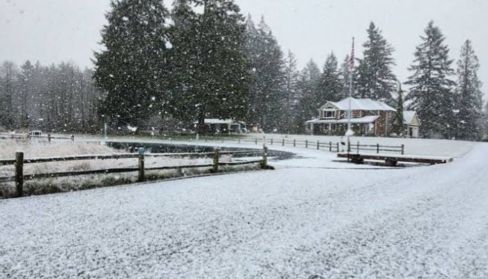
A powerful nor’easter is battering the East Coast while heavy mountain snow falls in the Pacific Northwest, creating a chaotic end to September 2026.
The National Weather Service says the early-season nor’easter brings strong winds, coastal flooding, and heavy rain from New Jersey to Massachusetts.
The latest snow map shows Mount Rainier is hit hardest. The centre of the mountain is shaded for 12 to 18 inches of snow by Saturday morning, September 26.
The North Cascades carry scattered bands of 1 to 4 inches, with up to 8 to 12 inches in the high-end version. Mount Baker is lighter still. Paradise, on Rainier’s south side, expects half an inch with up to 2 inches in the high-end case.
Among Cascade passes, Washington Pass on state Route 20 has the highest chance of snow (86% for at least a tenth of an inch, up from 43% earlier this week). Half an inch is expected, with an inch possible in the high-end scenario. Stevens Pass tops out at half an inch with a 27% chance of measurable snow. White Pass sees only a trace. Snoqualmie Pass on Interstate 90 has no chance of snow.
The lowlands remain dry through Monday, September 28. East of the Cascades, the story is wind, not snow. A wind advisory is issued for Spokane, Moses Lake, the Columbia Basin, and the Palouse, with gusts of 40 to 50 mph and a risk of blowing dust.