First blizzard warning in years as Washington braces for 100 inches of snow
Washington Cascades brace for 100-inch snowstorm through March 14
Published March 10, 2026
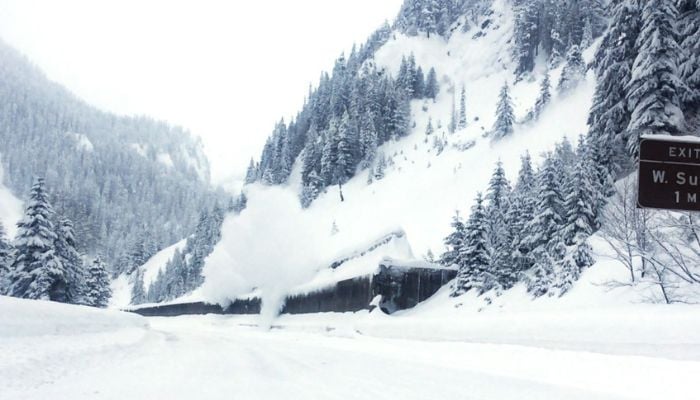
The Pacific Northwest is bracing for its most powerful storm of the season, with forecast models showing up to 100 inches of snow possible in the Washington Cascades through March 14.
The extreme weather conditions continue through Tuesday, March 10. Weather forecasters suggest that a stronger storm train will arrive Tuesday night and will keep the Cascades firing through Friday, March 13, before easing Saturday, March 14.
Steven Pass, ski areas in Washington state, is expected to receive 65-101 inches of snow by Saturday, March 13. While Crystal Mountain and Mt. Baker Ski Area will possibly receive 51-80 inches and 43-67 inches, respectively.
In addition to it, Snoqualmie Pass is expected to get 53-83 inches of snow.
Given the weather conditions, the National Weather Service has issued a blizzard warning for the Cascades from 6:00 p.m. Wednesday to 5:00 a.m.
While winds gusting up to 45 mph will hit on Thursday, March 12, with visibility dropping below a quarter mile.
Only seven blizzard warnings have ever been issued for NWS Seattle, with four of them in the last two years.
Throughout the week, travellers are advised to prepare for winter driving conditions and pass closures.


