US winter storm: Tourists warned as 20 inches of snow hits western ski resorts
Powerful winter storm to dump 20 inches of snow on US West, creating ‘treacherous travel conditions’
Published March 05, 2026
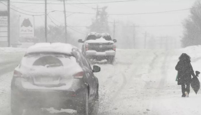
A powerful winter storm is set to hit the western United States to bury mountain passes with up to 20 inches of snow.
This prompts urgent warnings for travellers and drivers navigating the region’s major arteries through Friday, March 6.
The National Weather Service (NWS) has issued winter storm watches and advisories across several states, with Utah’s Wasatch Mountains, Western Uinta Mountains, and Central Mountains expected to bear the brunt of the system.
Analysts warn that severe 40 to 50 mph crosswinds are expected to create sudden whiteout conditions on exposed highways, reducing visibility to zero in seconds.
An NWS meteorologist, Phil Ware, said, “The biggest concerns will be snow-covered mountain passes, which could cause significant travel disruptions.”
Affected routes include Mirror Lake Highway, Logan Summit, and the approaches to Alta and Brighton ski areas, which face near-certain chain controls and possible closures as road crews struggle to keep pace with accumulation rates.
It is expected that the Upper Cottonwoods could see the heaviest totals reaching 20 inches, with a cold front triggering intense snow bands followed by wraparound precipitation into Friday morning.
Between 6 and 14 inches are expected elsewhere within the watch zone.
Those who are planning mountain crossings are advised to take extra precautions as conditions are exceptionally hazardous.


