Winter storm warning: Up to 14 inches of snow expected in New Mexico as May begins
Hazardous travel, chain restrictions likely across mountain passes from Thursday through Friday
Published April 30, 2026
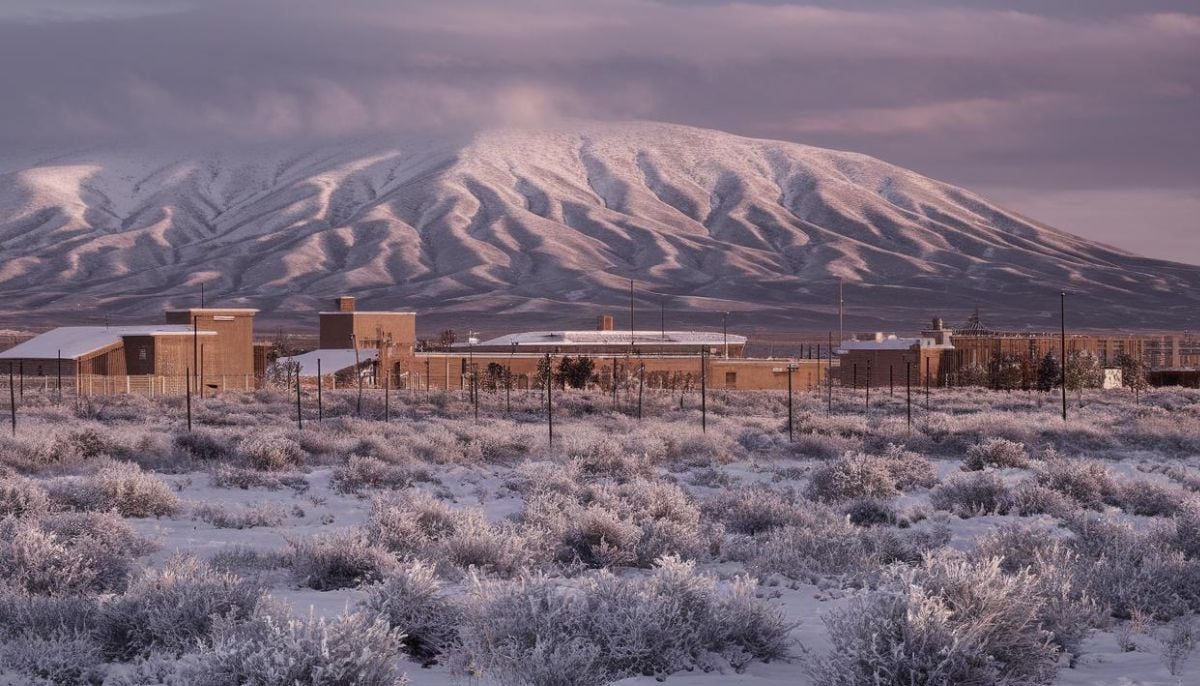
A winter storm is approaching as the National Weather Service has issued a Winter Storm Watch for parts of New Mexico.
Forecasters warn that heavy snow is expected, leading to dangerous travel conditions through Friday, May 1.
The storm watch is issued for the Sangre de Cristo Mountains, Johnson and Bartlett Mesas, including Raton Pass. It is effective from Thursday morning through Friday evening.
The predictions say that between 7,500 and 9,500 feet, snowfall will be from 3 to 8 inches, while above 9,500 feet, it will be from 8 to 14 inches. The conditions of driving may turn “very difficult” requiring tire chains.
In Colorado, forecasters forecast up to 20 inches of snow in some mountain ranges. Additionally, Wyoming can see up to 10 inches on Cloud Peak and Franks Peak.
The latter snowstorm arrives in light of ongoing drought problems within the area. Colorado’s current snowpack is either approaching or has reached record-low levels, and according to scientists, this week’s storms aren’t sufficient to break the drought cycle.
As for the cold air mass, it continues moving eastwards. People are advised to check the road conditions before hitting the road and bring their emergency kits containing warm clothing, water, food, and phone chargers.


